


The constellation of RapidEye satellites has been successfully imaging Victoria over the last few weeks resulting in impressive new imagery now available in archive.
Gail Kelly, AAM Satellite Team Leader, advises “the key benefits of the RapidEye satellites are readily illustrated by the recent capture over Victoria, i.e. large areas are imaged in a short timeframe with a impressive 5m ortho product as the end result. With a data capture capacity of 4 million sqkm per day, RapidEye is made for projects requiring multispectral data over large areas quickly or frequently.”
Kelly goes on to say, “The key features of RapidEye data can be pretty easily summed up: 5 identical satellites with 5 spectral bands producing 5m orthoimage products”.
Overviews of individual scenes are easily accessible using the online search tool, EyeFind.
For further information, review the AAM RapidEye webpage.
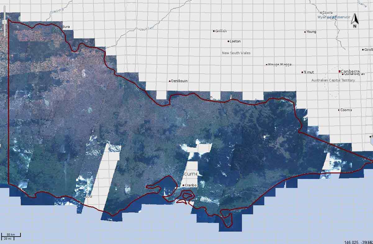
Above: RapidEye Victoria coverage from May – June 2011 – more capture underway
 (1)")
")

")
")
")