


AAM Client Bundaberg Regional Council has taken out a top award for its flood gauge mapping project in Brisbane on April 16.
Council staff member and project architect, Steven Bowden accepted the Excellence In Innovation Award for the Incremental Flood Gauge Mapping Project at the Local Government Managers Australia Excellence Awards.
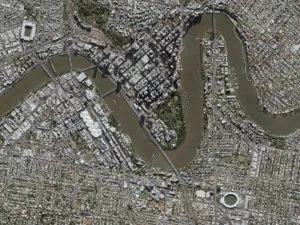
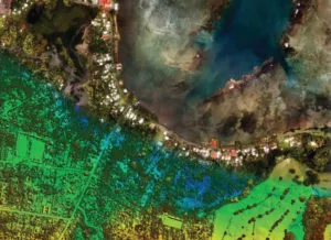
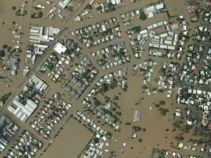
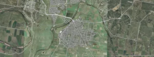
The state of the art interactive mapping system, was released to the public in December last year following extensive flood modelling of the Lower Burnett River and Floodplain Action Plan community information sessions held throughout September. The software allows residents, especially those living in floodplain locations, to easily correlate flood gauge heights to potential inundation of their individual properties.
Mayor Cr Mal Forman said the award was testament to the hard work and dedication of Council staff to help residents in flood affected areas be better prepared.
“Council’s project team was assisted by GHD flood engineers and spatial analysts from AAM Group. The maps will display across smart phones, tablets and PCs and is part of a mobile technology strategy that Council has adopted. You can even use your device’s GPS to zoom to your position on the map,” Cr Forman said.
The online software, developed using funds contributed through the State Government’s Flood Resilience Program is accessible here.
When released, it was the first program of its kind in Australia.
Read more about the project and the award here.
 (1)")
")
")
")
")
")