


AUSTRALIA / NZ
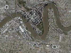
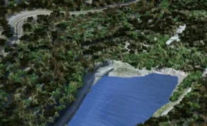
From now until 28 February 2013, DigitalGlobe’s OR2A Stereo Panchromatic imagery over Australia or New Zealand will be priced at a promotional rate of AU$30 ex GST per km²for this limited time (100km² – the minimum area). Combine this discounted panchromatic stereo data with colour archive imagery to support the generation of a range of valuable elevation, ortho-mosaic and mapping products. To learn more about the new OR2A Stereo Panchromatic imagery – read this PDF, call Ken Gillan on Ph (03) 9572 8706 or email us and we will contact you. Quote Promotional Offer ANZ25. This offer applies to orders confirmed before 28 February 2013.
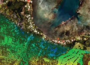
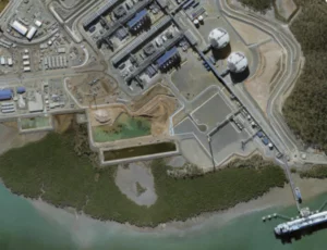
Have a monitoring requirement? Save 50% on new 50cm imagery for ‘small’ sites over Australia? Until November 30 2012, AAM is able to offer new capture of GeoEye-1 data for areas within Australia as small as 50km² instead of the usual minimum order size of 100km² (Conditions: This applies to 3 locations ordered at the same time or 3 coverages of the same area within a 12 month period). Contact us for the details.
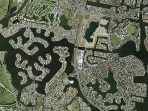
Reduce costs on 50cm satellite imagery by creating a consortium: Are you interested in saving up to 80% on your data procurement costs? Remember the Base Licensing for GeoEye and DigitalGlobe satellite data permits access for up to 5 user agencies, ideally suited for large areas (conditions apply). Talk to AAM about forming a consortium for imagery capture to help stretch your data procurement budget further. Alternatively, tell us about your geographic area of interest and AAM may be able facilitate a multi-user approach on your behalf to ensure the cost effective delivery of your project. Contact us for more details.
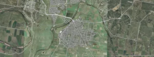
AAM Geocloud – Do more with your data! Buy more than AU$8000 of satellite imagery from AAM before October 26th 2012 and your enterprise could access your imagery via AAM’s geocloud service free for 3 months (Enterprises do need to be based within AAM’s authorised Reseller Territory to make these purchases). Our resident geocloud expert Rob Clout can be contacted to discuss the benefits of this service and conditions of offer. Email us to discuss details.
October 31 webinar: AAM’s next 20 minute webinar is scheduled for Wednesday October 31st at 2:30pm Sydney time. Theme: AAM Geocloud Services & Google Earth builder: our webinar will illustrate the use of GeoEye Satellite Image products. Stay tuned for more information. If you missed the last webinar, please click here to visit AAM’s Youtube video of Satellite services to accelerate your engineering and mining projects.
Benefits of partnering with AAM:
- Save on mobilisation costs: AAM is currently in Africa, PNG, The Pacific Islands, Australian East and West Coasts, with even more offshore locations imminent;
- We have the ability to supply high definition terrain and image datasets as we own a fleet of aircraft; airborne sensors and mobile laser scanners;
- A multi-disciplinary team is available to advise on all project life cycle phases from geodetic issues to data integration, data accuracy assessment and data transformations;
- Experience efficiency gains from reduced data management overheads by accessing your data via AAM’s geocloud data solutions;
- The AAM Group has more than 350 experienced and multi-disciplinary staff in offices in Australia, Africa and Asia, ensuring local points of contact are available to develop the right solution for each project in any environment
When accuracy and timeliness matters – contact AAM
 (1)")
")
")
")
")
")