


The Western Australia Department of Mines, Industry Regulation and Safety (DMIRS) recently released TENGRAPH Web – its new online mining tenements and petroleum titles mapping system. It is utilised by more than 14,000 users and measured a success – with the majority of the test group proclaiming it much better than the former system.
TENGRAPH Web uses Geocortex technology and was configured with assistance from AAM’s Geosolutions team.
Executive Director Dr Ivor Roberts praised the new system claiming, “The new TENGRAPH Web does everything the old system could do, but also has a whole new set of features that make it a more modern, business-oriented system than TENGRAPH Online (DMIRS’ previous mapping system), which has been in operation since 1992. This new system has a strong focus on tenements and approvals and can also be used to create maps of a very high quality.”
TENGRAPH Web’s new and improved features include:
- All existing TENGRAPH Online features (i.e. Links to Google Earth, Mineral Titles Online, WAMEX, MINEDEX and Petroleum Geothermal Register, plotting tools and custom colouring objects
- Short cut menus containing TENGRAPH’s most often used tools
- Continuous panning across WA
- Additional Quick Appraisal options
- Easier to read Quick Appraisal report containing more information and Petroleum Title Holder details
- Interactive Quick Appraisal using the Google Maps service
- Creates interactive pie charts
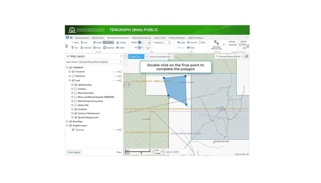
- Easier to use polygon construction and measurement tools
- Easier to turn layers on/Off
- Prints high quality maps
- Geology and Topography Map Mosaic overlays
- Ability to save constructed polygons as a project and bookmark your favourite places
- Transparency slider bars to change the visibility on the map
- Save results from searches and selections to a CSV file or Shapefile for use in other GIS systems.
- Add Shape files by dragging the file directly onto the map display
- Displays Landgate aerial photography
- Provides easy access to scanned historical tenement maps
- Has an overview map for help in locating yourself in WA
- Is web based
- Easier to navigate. It uses the same Pan and Zoom mouse commands as Google Maps and GeoVIEW.WA
Watch a general overview of the TENGRAPH Web application here.
If you would like more information on Geocortex or have a request for our Geosolutions Team, please email info@aamgroup.com or contact the AAM office closest to you.
You can also visit AAM’s GEOCIRRUS website for more information on our full range of web mapping solutions.
 (1)")
")
")
")
")
")