


AAM have partnered with the NRM Spatial Hub to build the infrastructure for their Online Property Planning Information System (OPPIS).
OPPIS will provide easy-to-use tools to assist with resolving complex property issues, allowing various stakeholders to effectively manage and develop their land.
The system is currently undergoing testing in Phase 1 which is due to be complete by the end of May 2015.
AAM were successful in securing this project given our extensive mapping capabilities and ability to provide interactive and secure on-line access to spatial data from a variety of sources.
Through its customised mapping, reporting and analysis tools, OPPIS will give its users access to accurate and timely data regarding land conditions. Key infrastructure and specific land conditions can be identified and located, providing access to data for making important decisions. For example, mapping out fencing and water sources supplies vital information that can be used to create effective grazing development plans that achieve both maximum productivity and ecological sustainability.
The maps below are just two examples of some key features that can be identified and analysed by the mapping tools in OPPIS.
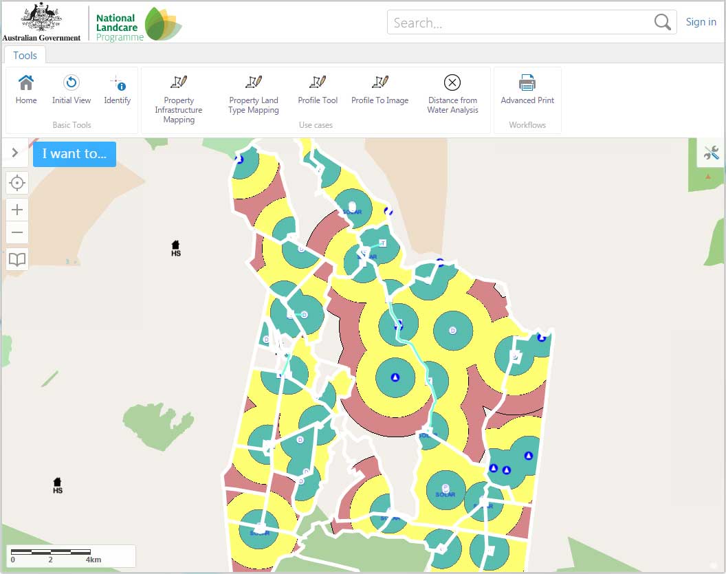
Above: Map depicting Grazing Circles
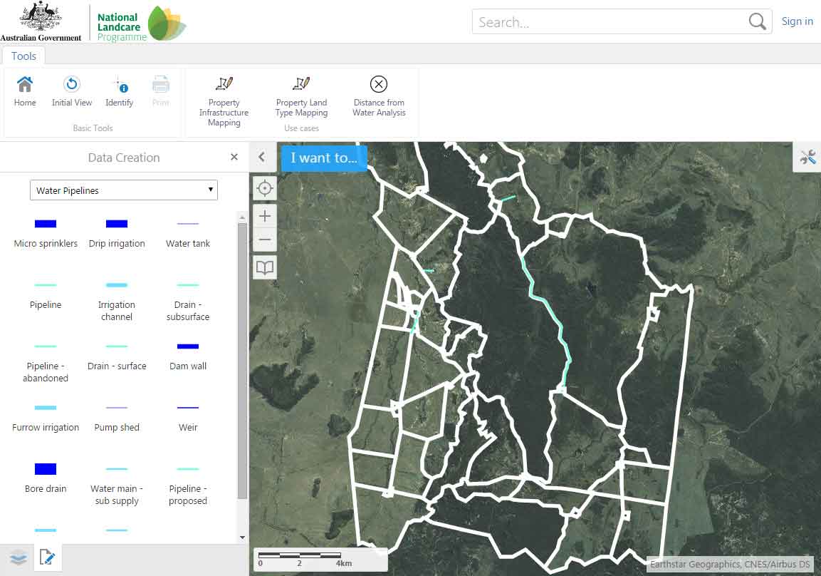
Above: Map of water pipelines
Click here for more information on OPPIS.
 (1)")
")
")
")
")
")